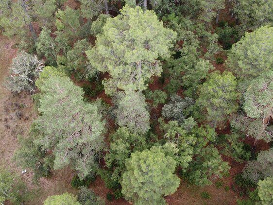
We publish many datasets alongside our papers, and encourage others to use them. We apply CC-BY-NC licensing where we can, but note that some datasets contain third party restrictions, and details should be checked before use.
Please find links and descriptions below, and get in contact if you’d like to find out more about these.
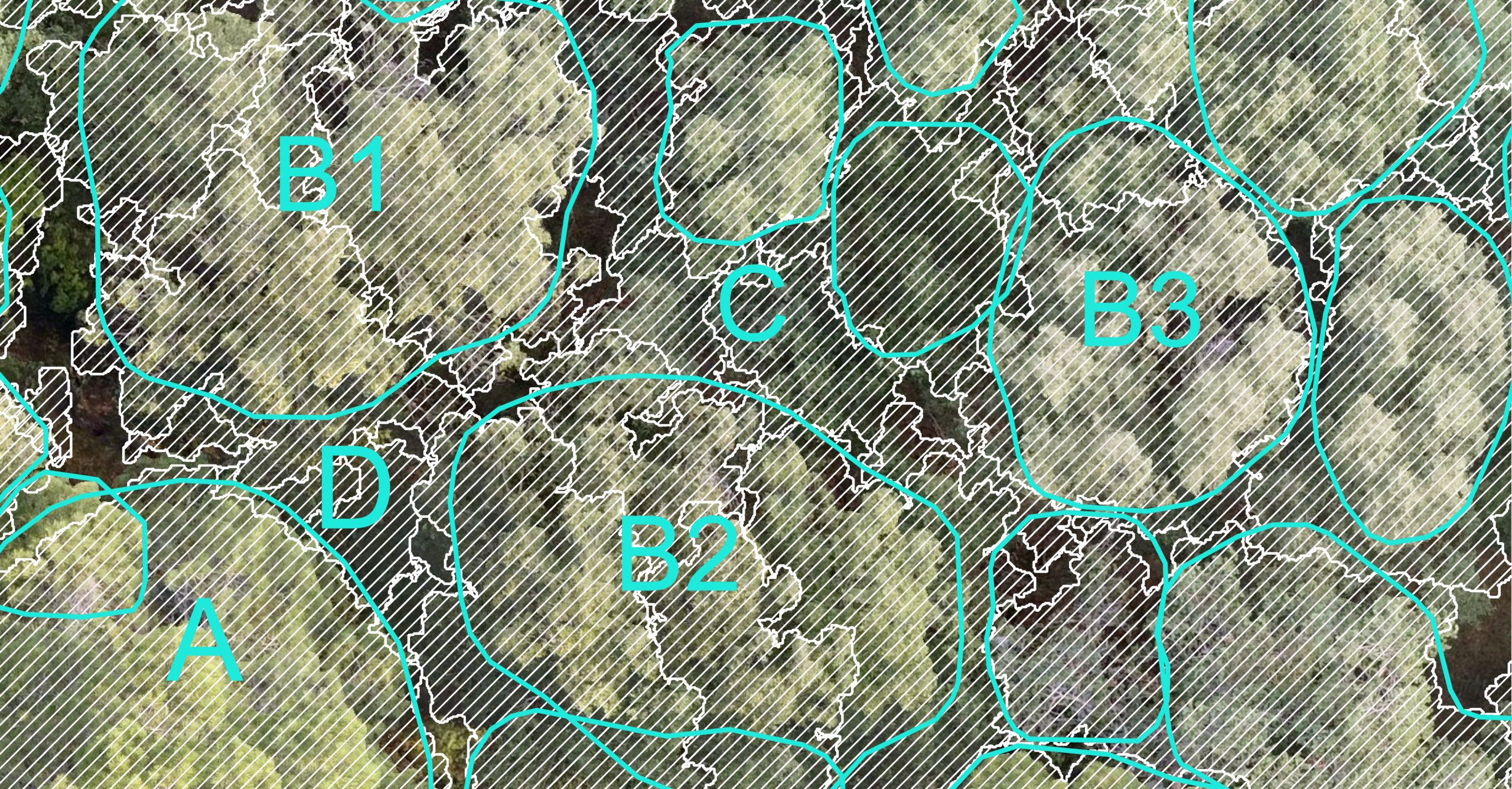
Data for: Manual Labelling Artificially Inflates Deep Learning-Based Segmentation Performance on RGB Images of Closed Canopy: Validation Using Terrestrial Laser Scanning. Allen et al. (2025)
Deep learning methods for tree identification in aerial imagery are popular but have been trained, tested and validated on human-annotated images – labels that represent what a person believes is a tree. This is not a rigorous ground truth method and the true performance of these methods is unknown.
Here we share data of drone orthoimagery that have been segmented using Terrestrial Laser Scanning data for mixed, unmanaged forest plots across Spain and Finland, and in the accompanying paper we show that deep learning methods perform much worse on these segmentations than on human annotated imagery. See analysis in Allen et al. (2025).
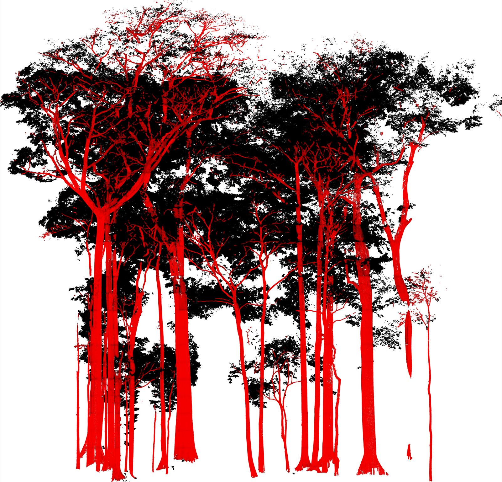
Plot-level semantically labelled terrestrial laser scanning point clouds. Owen et al. (2025)
Leaf-wood labelled point clouds for nine 10 x 10 m blocks collected using Terrestrial Laser Scanning in diverse unmanaged plots in Finland, Poland and Spain. Used to train the deep learning leaf-wood separator model PointsToWood, see Owen et al. (2025).
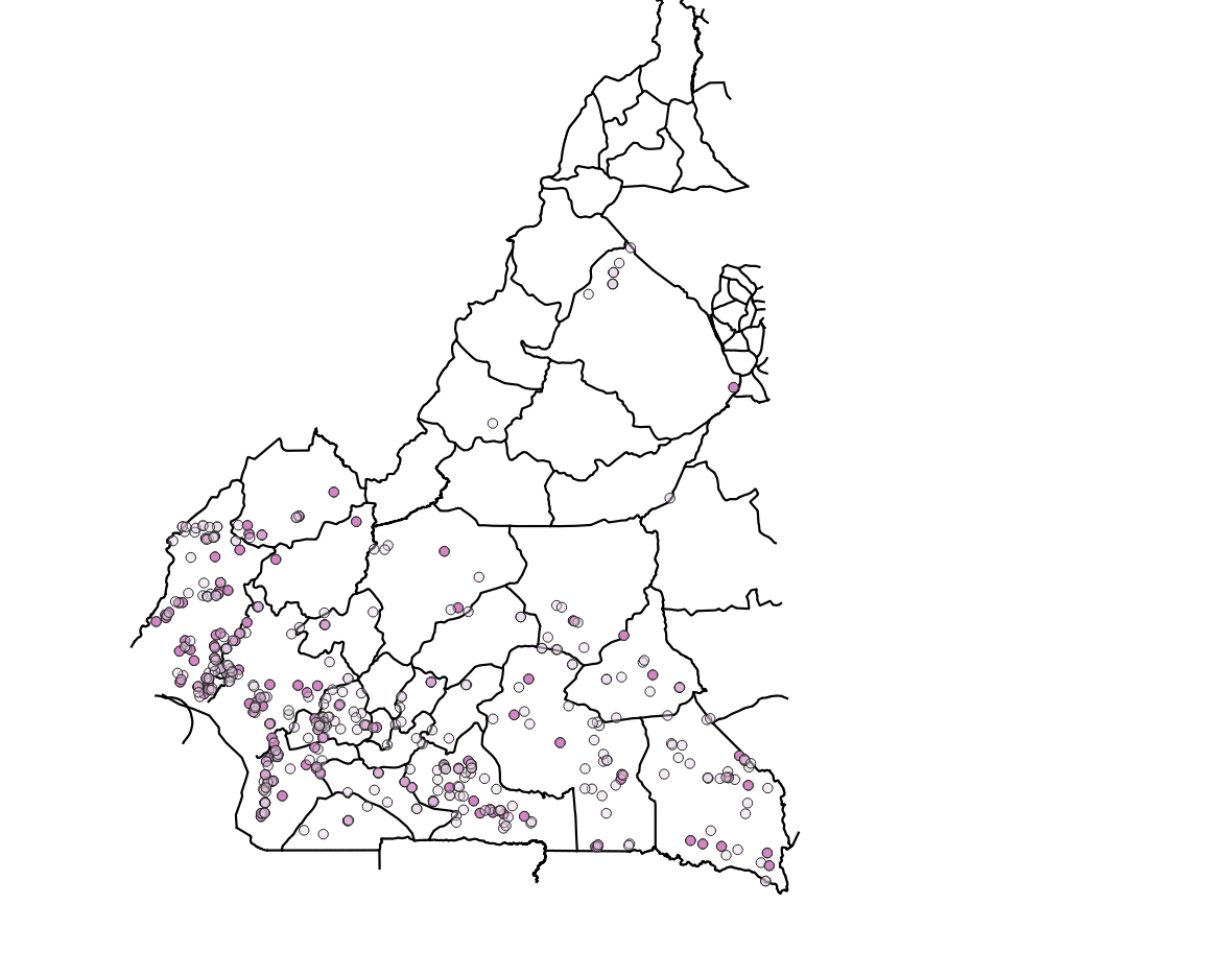
Labelled dataset to classify direct deforestation drivers in Cameroon. Debus et al. (2024).
This dataset includes the images (visible bands for Landsat-8 or NICFI PlanetScope), auxiliary data (infrared, NCEP, forest gain, OpenStreetMap, SRTM, GFW), and data about forest loss (Global Forest Change) used to train, validate and test a model to classify direct deforestation drivers in Cameroon. Dataset used in Debus et al. (2024) and in Debus et al. (2025).
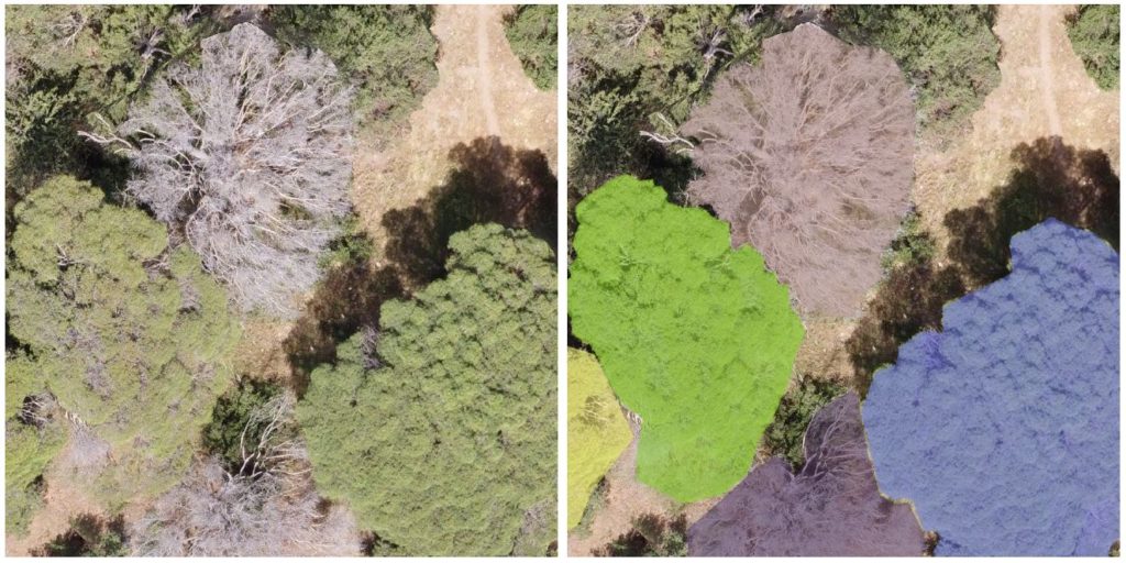
Almorox Crown Dataset – Crown Instance Segmentation Data & Dieback Estimates. Allen et al. (2024)
COCO, imagery & inventory data with archive split into parts to aid uploading. Drone imagery captured in Pinus pinea forests suffering drought-induced dieback in Pinar de Almorox, near Madrid, Spain. Imagery captured across c. 1500 ha of forest using a DJI Mavic Mini drone in May/June 2021, with orthomosaics generated using Agisoft Metashape. Dataset used in Allen et al. (2024) and in Allen et al. (2025).
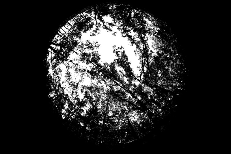
DHP images collected from Alto Tajo and Cuellar in Spain. Flynn et al. (2023).
Digital Hemispherical Photography images taken in 33 30 x 30 m plots across two sites in Spain, collected at the same time as Owen et al. 2022. Used in Flynn et al., 2023, with accompanying code.
Images were taken on a 10 m grid, making 16 locations per plot. At each location, DHP images were captured with three exposure settings, levelling a Canon EOS 6D full frame DSLR sensor with a Sigma EX DG F3.5 fisheye lens. For each RGB image, the blue band was extracted, as this best represents sky/vegetation contrast. Automatic thresholding was carried out using the Ridler and Calvard method (1978), creating a binary image of sky and vegetation.
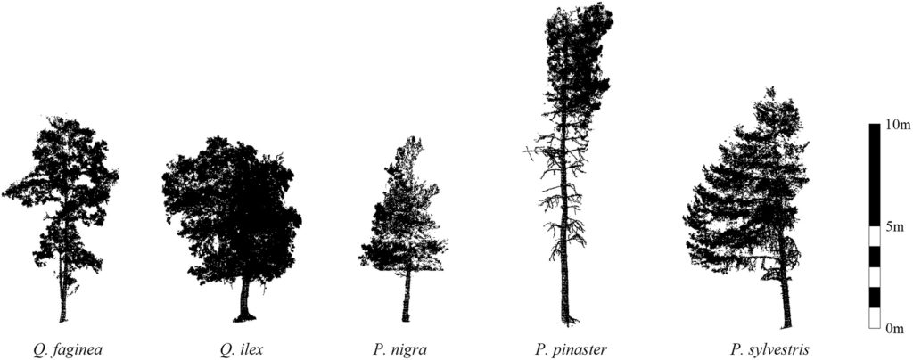
Individual TLS tree clouds collected from both Alto Tajo and Cuellar in Spain. Owen et al. (2022)
c. 2500 individual TLS-scanned tree point clouds, with species tags. Used in Owen et al. (2021), Allen et al. (2022) and Flynn et al. (2023).
36 30 x 30 m plots across two sites in Spain were scanned using a Leica HDS6200 scanner (3.2mm resolution at 10 m) following a grid pattern. Scans were co-registered and individual trees segmented using a combination of treeseg (Burt et al. 2019) and manual extraction/refinement. Trees in this database have been zero-centred and downsampled to 5 cm . Individual tree species ID (Quercus faginea, Quercus ilex, Pinus nigra, Pinus sylvestris and Pinus pinaster) and whether a tree is a multi-stem or single-stem are given in the metadata file.